
by Steve Gifford | Feb 13, 2025 | Terrier
We’ve been moving our customers to the new version of our visualization interface, Terrier2, powered by our cloud service, Boxer2. The Terrier visualization system offers unprecedented flexibility and scalability, with expanded data access for our customers....
by Steve Gifford | Jan 8, 2025 | Boxer, Terrier
We’re excited to announce another step forward in professional weather visualization! We now have native support for the Mapbox Maps SDK, which expands our support for premium mapping platforms. This enables developers to combine our powerful visualization...
by Steve Gifford | Nov 21, 2024 | Terrier
You never want to be in weather named after a scientist. No one does their PhD on pleasantly mild atmospheric anomalies. Okay, I’m sure someone does, but I’d argue that’s climatology, and the other meteorologists probably roll their eyes at them....
by Steve Gifford | Nov 14, 2024 | Terrier
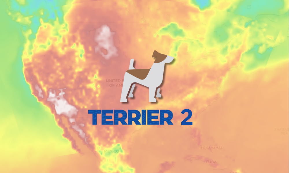
Although we don’t use traditional version numbers, we’ve made some significant updates to Boxer, leading to a suite of Terrier enhancements we call Terrier 2. These enhancements introduce powerful new features that allow users to filter, select, and...

by Steve Gifford | Oct 10, 2024 | Terrier
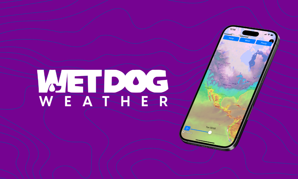
Speed and accuracy are paramount in the fast-paced world of weather forecasting and data visualization. Enter Terrier, our cutting-edge front-end display toolkit that’s turning heads in the industry. When we demonstrate Terrier to new customers or business...
by Steve Gifford | Sep 18, 2024 | Terrier
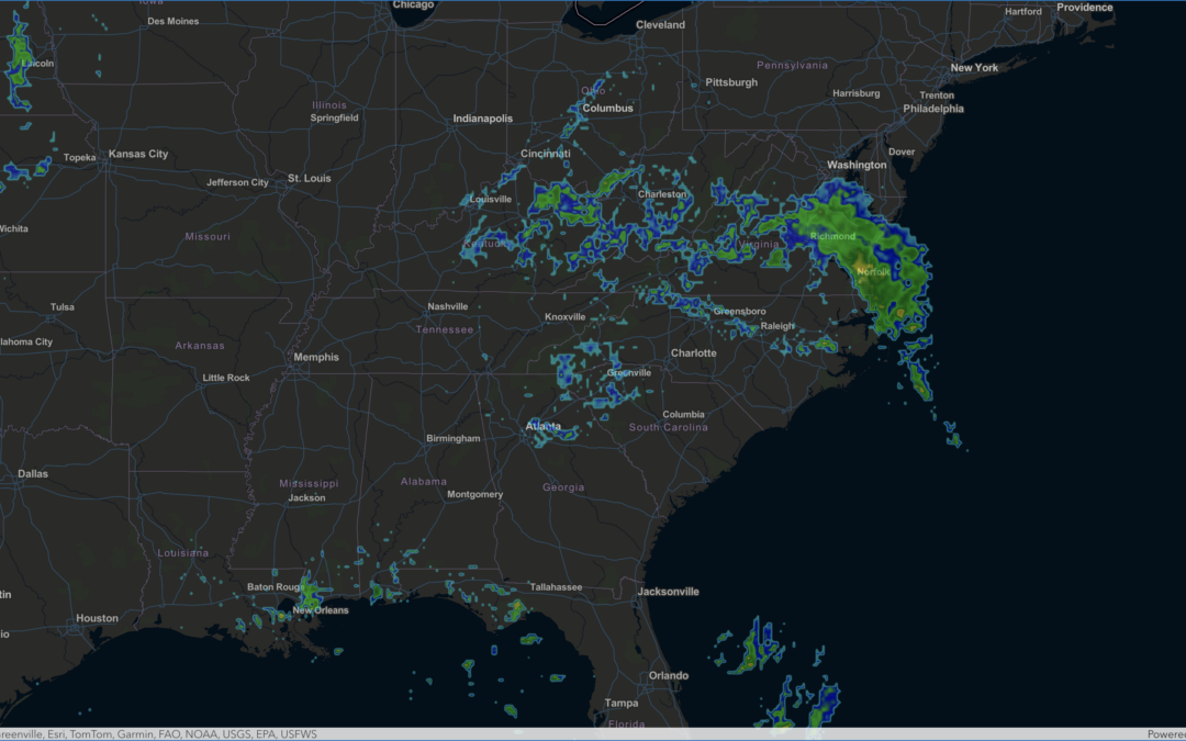
We’re excited to announce our latest enhancement: ArcGIS Maps SDK integration for weather data visualization. This new feature brings the power of Wet Dog Weather’s Terrier product to users of the ArcGIS ecosystem. Now, displaying real-time weather data on...