Articles
Thoughts and insights from a team building a weather data platform designed to make complex weather data easier to use.

Future Radar WCS Queries: A Practical Walkthrough
We’re taking a closer look at the data behind our future radar product and how future radar WCS queries work in practice. From MRMS reflectivity to advected forecasts, this walkthrough shows how to request, interpret, and apply the data.
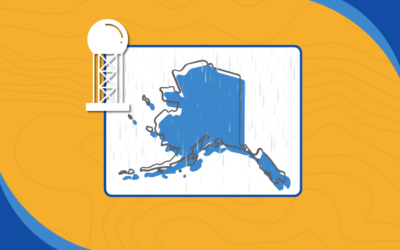
Exploring Real-Time Precipitation Type in Alaska
Our future radar work in Alaska surfaced a familiar challenge: real-time precipitation type. While MRMS and radar sensors provide strong signals, gaps remain—especially when classification is missing. By blending radar with model data like HRRR and NDFD, we see a path toward a more complete and intuitive precipitation layer. It’s not perfect yet, but we’re ready to solve this problem when the need arises.
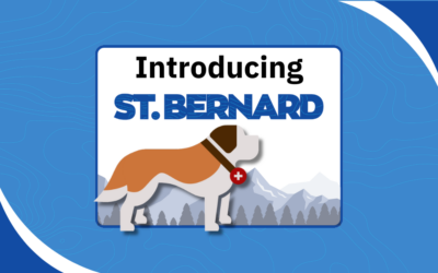
Introducing St. Bernard: Your EOC Weather Display Companion
St. Bernard is our purpose-built EOC weather display designed for emergency operations centers and command environments. It delivers real-time radar, wind, and environmental data to big screens—no complex setup, no cost, just immediate situational awareness when it matters most.

Future Radar in Terrier: How to Get Started
Future radar fills the gap between current conditions and short-term forecasts. In this post, we walk through how to use Future Radar in Terrier for Web, including how to display advected MRMS data and seamlessly extend your radar timeline.
Making Radar More Useful with Future Radar Data
Future Radar uses advected radar to show where precipitation is headed in the near term. It looks like radar, but adds just enough forward insight to make it more actionable, whether you’re building visualizations or triggering alerts.

Why Reliable Aviation Weather Data Matters for Flight Operations
Weather affects every stage of a flight, from planning and routing to landing at the destination airport. Aviation companies depend on reliable aviation weather data to monitor storms, icing conditions, turbulence, and cloud cover. When this data is easy to access and integrate into operational tools, flight teams can make faster decisions and reduce risk.
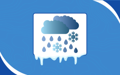
How Mixed Precipitation Types Form in Winter Storms
Winter storms rarely produce just one precipitation type. When warm and cold layers overlap in the atmosphere, they can create a mix of snow, sleet, freezing rain, and rain across the same region. Understanding these mixed precipitation types starts with looking at the temperature profile between the cloud deck and the ground.
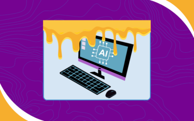
Sorting Signal from Slop in AI Code in Open-Source Projects
As AI tools flood GitHub, AI code in open-source projects is becoming harder to ignore. Some of it is genuinely useful when guided by a thoughtful developer. A lot of it, though, is automated drive-by slop that wastes maintainers’ time and adds noise instead of value.
Web Coverage Service: A Real-Time Weather Data API
Web Coverage Service delivers fast, standards-based access to forecast data, functioning as a real-time weather data API.
Have a project in mind?
Our weather data platform handles everything from standard datasets to custom data, whether purchased or generated in-house. Customers can have their own Boxer stack with access to Terrier front-end tools, and we provide full support for processing, transforming, and delivering weather information efficiently. Customization is where our expertise shines, helping you get exactly the weather insights you need. Let’s work together to bring your next weather data project to life!