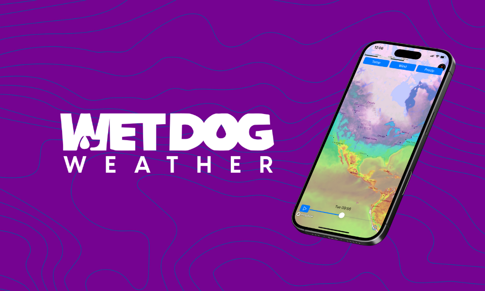
We’re excited to announce another step forward in professional weather visualization! We now have native support for the Mapbox Maps SDK, which expands our support for premium mapping platforms. This enables developers to combine our powerful visualization capabilities with their preferred high-quality mapping solution.
Who is Wet Dog Weather
While our website provides comprehensive information about our company, let’s cover the essentials. We’re a weather company specializing in real-time data display and processing, focusing on professional weather visualization.
Our technology powers Carrot Weather and TruWeather Solutions V360. We’ve developed two core products: Terrier, our visual SDK for professional weather maps, and Boxer, our cloud weather processing system.
Terrier for Mobile & Web
Our Terrier SDK excels at displaying various real-time weather data, including precipitation, temperature, wind (with particles), and any value that can be mapped to a color. As a leading professional weather visualization solution, Terrier stands out for its exceptional speed and interactivity.
Terrier’s performance in handling large multi-part weather datasets is unmatched, particularly regarding flexibility. No other weather visualization tool comes close to its capabilities.
We demonstrate this flexibility through our support for multiple mapping toolkits on web and mobile platforms. Our professional weather visualization tools adapt to work with your preferred mapping solution.
Implementing Mapbox Weather Visualization
We’re excited to announce that Terrier now integrates with another major mobile mapping platform: the Mapbox Maps SDK. Here are some examples of our visualization capabilities:
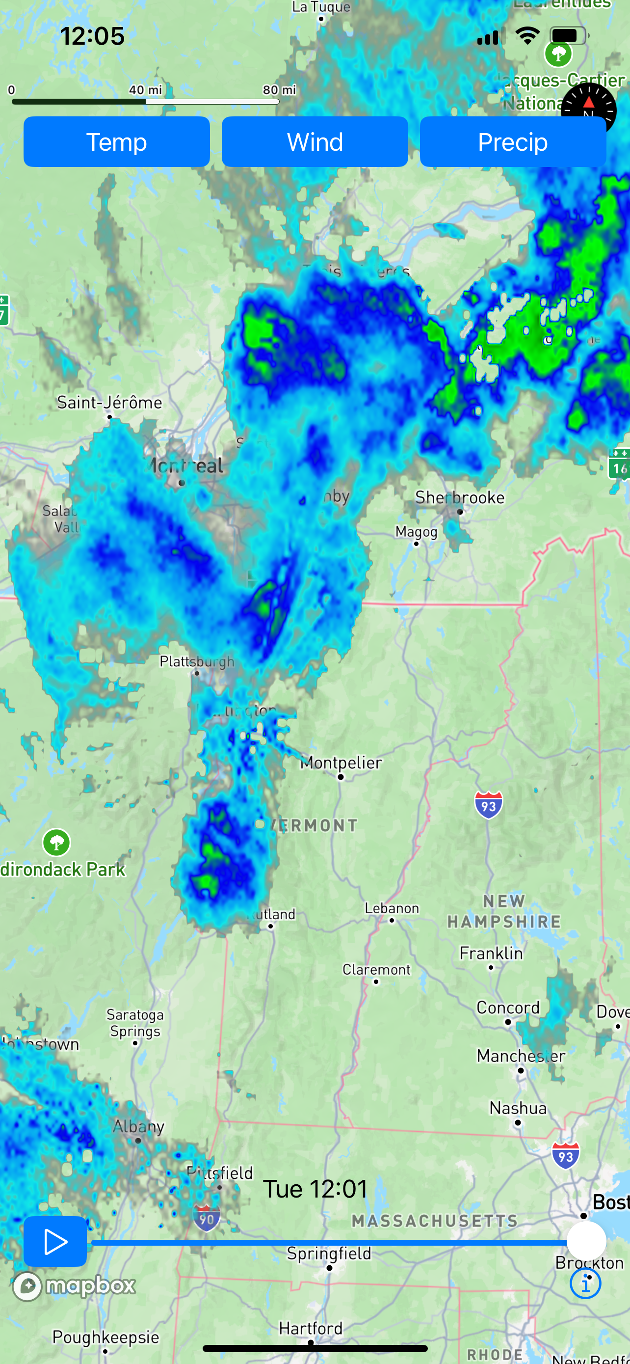
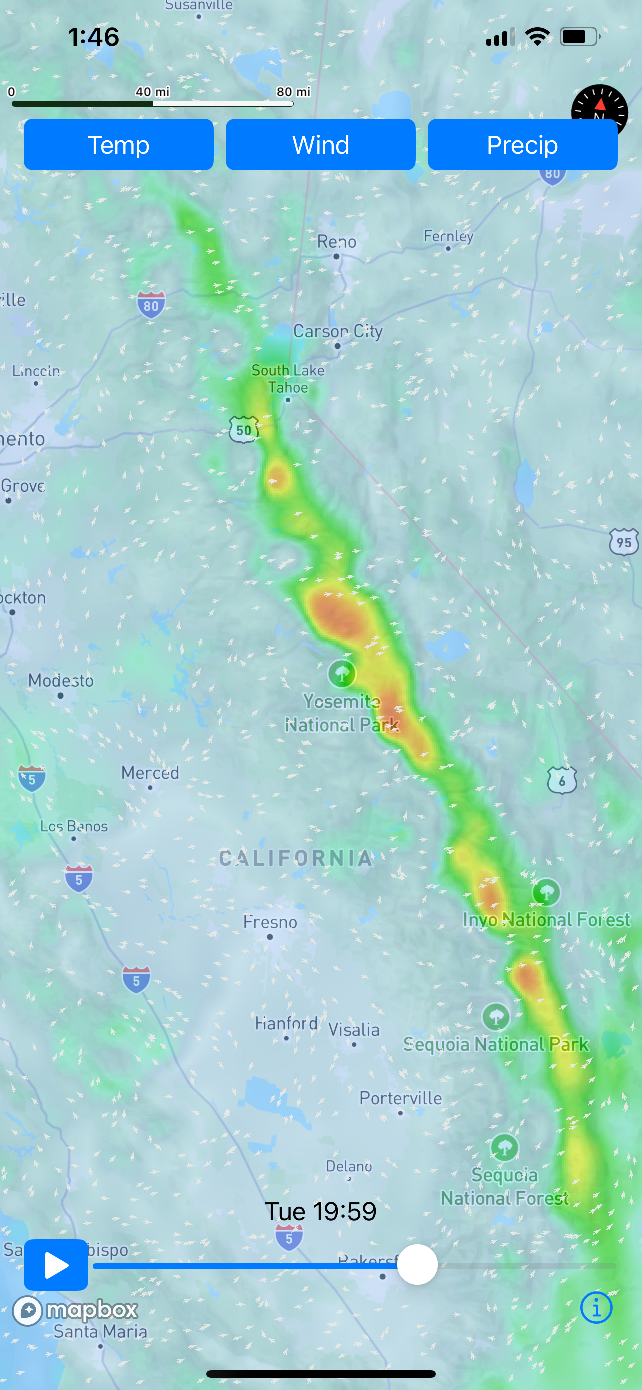
Our technology powers the professional weather visualization you’re seeing, while Mapbox on an iPhone renders beautiful maps. The combination delivers speed and visual appeal.
Both Terrier and Mapbox utilize Metal, the high-performance rendering SDK for graphics on Apple products. Mapbox’s custom layer interface allows seamless integration with our visualization system, resulting in fast, pixel-perfect weather displays with zero lag.
Integration Guide for Mapbox Mobile SDK
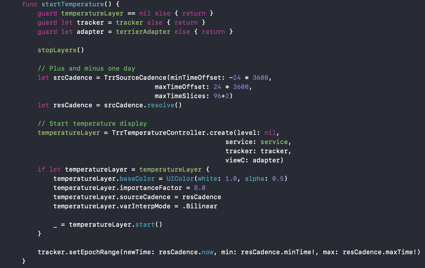
Terrier, our professional weather visualization product, already supports multiple platforms, including MapLibre, Leaflet, and ArcGIS Web SDK. For mobile, we’ve adapted this approach with some platform-specific optimizations. Here’s a Swift code snippet demonstrating the implementation:
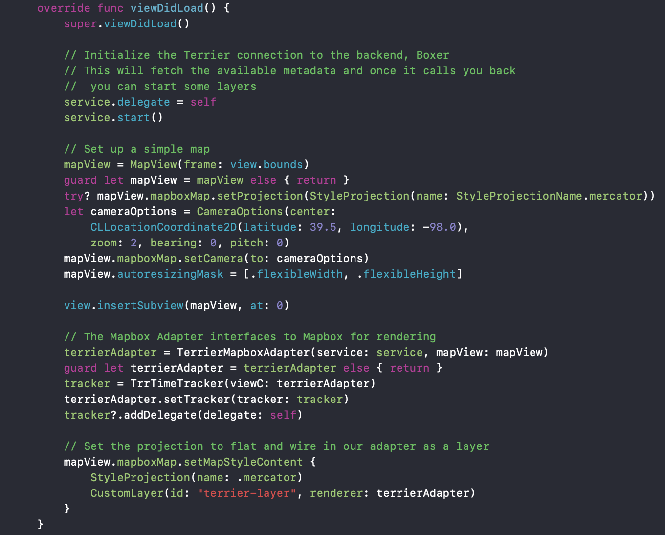
Configure your Mapbox map as usual, then pass it to our TerrierMapboxAdapter. We establish ourselves as a CustomLayer and handle the rendering process.
When the Terrier Service has phoned home and is ready to display your data, you get a delegate callback and can start up a layer like so.
This setup gives you temperature data from every source in your Boxer stack, typically including GFS, HRRR (RRFS soon), RTMA, and any high-resolution insets you’ve subscribed to.
Terrier manages all aspects of the visualization, tracking the Mapbox map’s movement and efficiently loading only necessary data, just like our web implementation.
Why Map Quality Matters
We’ve all seen sophisticated visualizations paired with rudimentary maps that detract from the overall experience. At Wet Dog Weather, we made an early decision to eliminate this compromise. Our professional weather visualization proves you can have premier mapping and outstanding weather displays.
We support everything from Leaflet to high-end solutions like ArcGIS Web SDK and Mapbox. This compatibility-first approach has proven invaluable, and our users reap the benefits. The radar example above showcases the exceptional quality you can achieve when you combine powerful visualization with premium mapping.
