We’re announcing a sleek, simple version of our gorgeous weather display technology called Greyhound.
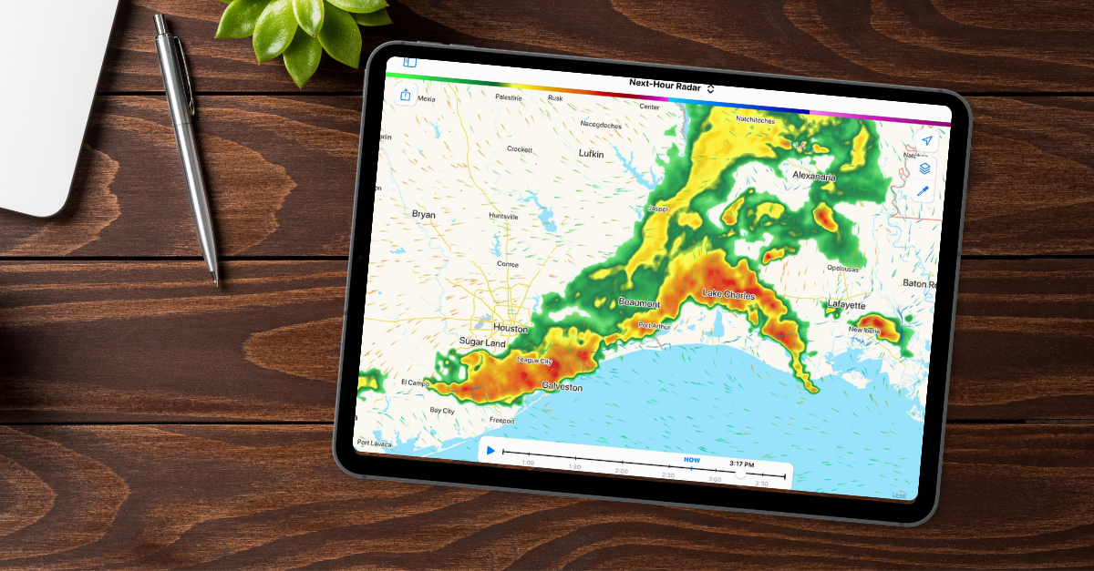
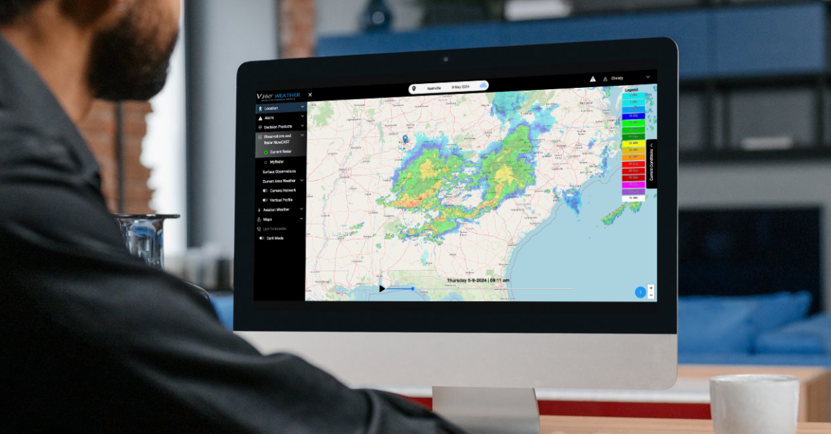
Sometimes, you just want a straightforward weather display solution that shows radar, temperature, wind, or another standard variable. For example, users may want to see what the temperature is going to be in their region. You may also want to display radar with your aircraft display.
There are many use cases for Greyhound, but the core idea is simple: You want to integrate high-quality weather display capabilities on your map.
We’re Experts in Weather Display Technology
We excel at real-time weather display solutions. Our approach combines our back-end data processing (Boxer) and real-time OpenGL/Metal data display (Terrier). The special sauce that powers our weather display is unique and challenging for others to replicate.
As our product offerings grow, we dig into the problems our customers want to solve. This now includes data query services, Python interfaces for meteorologists, custom data set processing, backward compatibility for older weather display systems, SLAs, and even data stack versioning.
These are big, complicated problems, and we love solving them. But sometimes, metaphorically speaking, a person will walk up and say, “Okay, but can I just have that?” pointing to our beautiful weather display.
Yes, you can now just have that. Greyhound will give you stunning weather models and radar displays with simple integration.
Map Toolkit Integration for Seamless Weather Display
Other companies make map tiles. We don’t like map tiles. They’re bloated, slow, and don’t look that great. We like data and render data in different coordinate systems, at various time cadences, and from different models. We merge it all together in real time, creating an exceptional weather display experience!
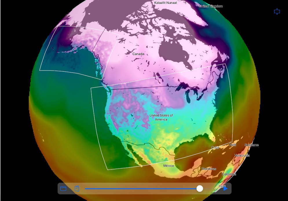
When we render our own maps, we need an active component. That’s Terrier, our front-end toolkit for web and mobile weather display. So you need to run our code.
Luckily, our weather display technology integrates with a wide variety of web and mobile map toolkits: Mapbox, MapLibre, OpenLayers, Leaflet, and ArcGIS Web SDK, to name a few. If you have one we don’t support, we’re happy to add it.
Easy Web and Mobile Development
Our Web SDK makes weather display integration really easy. Here’s the MapLibre example.
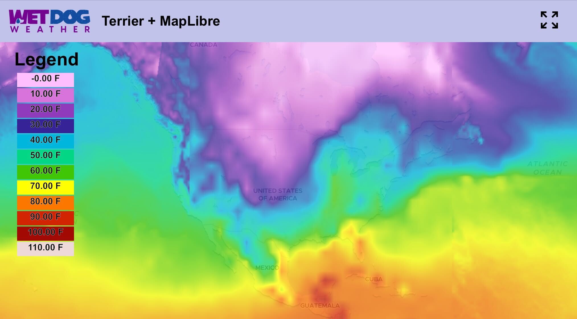
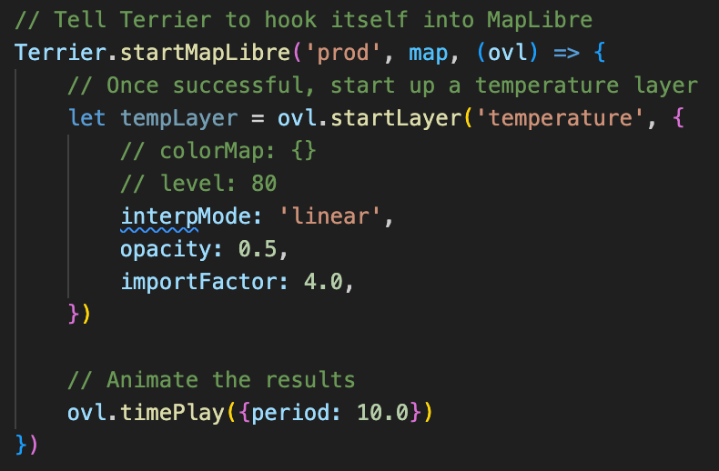
Mobile weather display integration isn’t any more complicated. Here’s an example with Mapbox.
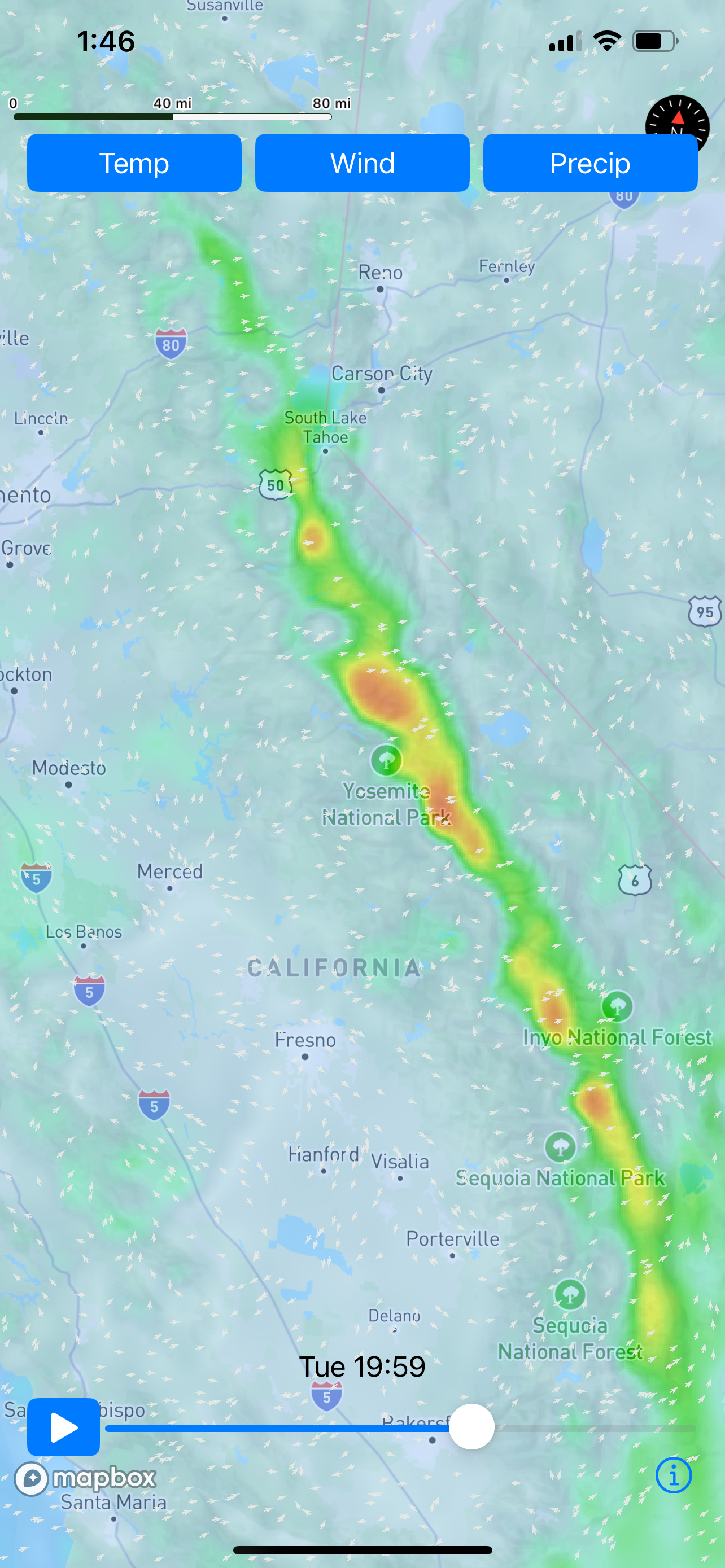
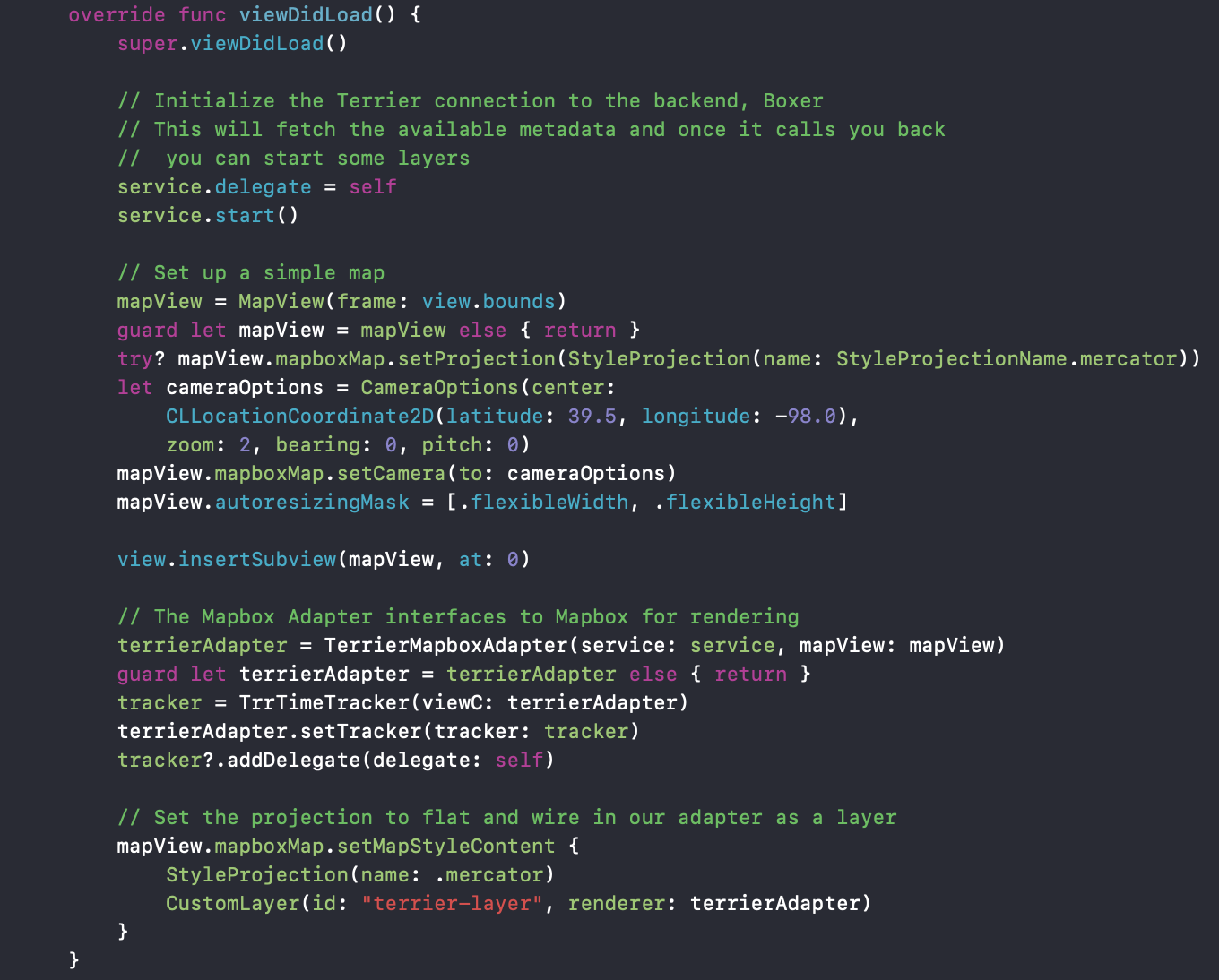
Integration is really that easy, and you don’t have to give up your favorite map! The odds are that we can work with the map you’re already using for your weather display needs.
Greyhound Available Now
We’ve been providing this weather display technology for years. Since we launched, big weather apps and small dashboards have been safely using it. Now, you can access our fantastic data layers to enhance your weather display capabilities.
True to its namesake, Greyhound delivers a sleek design and lightning-fast performance. The optimized rendering engine ensures smooth animations even with complex data layers. At the same time, the streamlined integration process gets you up and running in record time. Don’t compromise on speed, aesthetics, or reliability – with Greyhound, you get the perfect balance of all three.
Have a project in mind?
We are a Software as a Service company, and we charge accordingly. Our customers rent their own Boxer stack and gain access to our Terrier front-end libraries. We process a variety of standard data sets, which is…. standard. But we also process custom data you may buy or generate yourself. That’s where things get interesting
